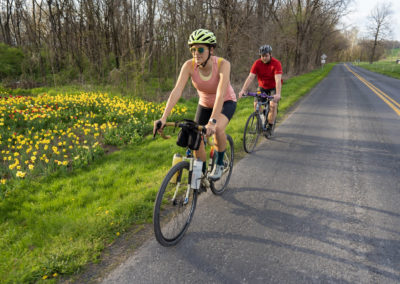
Bridgewater Gravel Ride
Bridgewater Gravel Ride
Located in Western Rockingham County
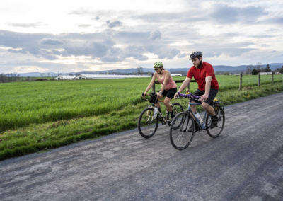
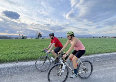
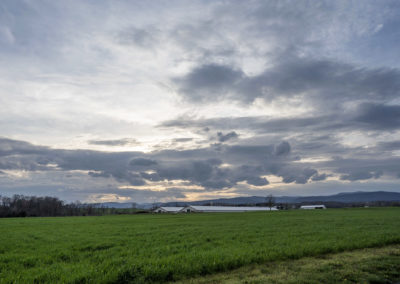
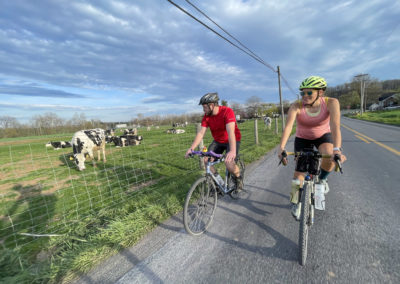
Cruise through gentle gravel roads and explore the county’s picturesque farm country in the Dry River area. This flat road ride is perfect for beginners with a mix of smooth dirt and paved country roads. Share greetings on scenic roads with friendly Mennonite cyclists and their families in horse-drawn buggies as they travel between their farms and small towns. Take a dip in a cool swimming hole and soothe sore muscles on warm summer days. Enjoy drinks and snacks at a local country store or visit the restaurants and shops in the quaint, charming town of Bridgewater.
For more detailed trail information: Bridgewater Gravel Ride
Trail Information
Trail Activities: Gravel Cycling
Time required: 1.5-2.5 hours
Challenge level: Easy
Distance: 16.5 miles
Elevation change: 337 ft.
Terrain: Mixture of state-maintained gravel roads and quiet paved roads through farm country on a very flat route
Preferred direction: Out and back with a clockwise loop on the north end and a small option for variety on the return at mile 10.5.
Practical Planning Information
Services along trail: Minimal.
Food & water: Food and water are available for purchase in the town of Bridgewater and the Dry River on route 613 in Lilly.
Mobile phone service: Good service throughout the route.
Directions & Parking
Google: Edgebrier Park, Bridgeview Park
Driving time: 15-20 minutes south of Harrisonburg
Signs and marking: Roads are signed with names and numbers, as shown on the route map
Parking: “Edgebrier Park” or “Bridgeview Park” have public parking on the southwest side of town near the North River
Bridgewater Gravel Ride
Navigating the Route
From the southern end of the town of Bridgewater, park in the parking lots of Edgewater or Bridgeview Park. Head northeast on S. Grove St. and turn left onto N. River Rd. Immediately turn right onto Dry River Rd. After 1.6 miles, turn left onto the busy Rt. 257. Cross the bridge over Dry River and turn right onto Rt. 738 to continue onto W. Dry River Rd. The road will eventually turn to gravel (4 miles) as you continue north and turn left onto Honey Run Rd. The uphill grade on this road is hardly noticeable. Circle back in Clover Hill by turning right onto Morris Pottery Rd – Rt. 731, and right onto W. Dry River Rd. Enjoy the easy ride back to Bridgewater!
At 7.8 miles, it is possible to detour up to the Dry River Store in Lily on Rt. 613 for supplies or drinks. From Kerns Rd. (Rt. 731) , turn left onto W. Dry River Rd. (Rt. 738). When you reach the fork in the road, turn right onto Clover Hill Rd. (Rt. 613). After 0.3 miles, the Dry River Store will appear on your left.
At 8.6 miles, it is possible to detour to the “Slab,” a local swimming hole on Dry River. From the intersection of Koogler Rd. (Rt. 739) and W. Dry River Rd. (Rt. 738), continue down W. Dry River Rd. for 0.7 miles until it becomes Slab Rd. (Rt. 734). The road will become a cement slab as it crosses the river. When you reach the cement slab, park your bike in the grassy area next to the river and take a dip in the water. Take precaution and do not swim in the river if the water level is high and the current is fast.

