Hidden Rocks
Located in the George Washington National Forest
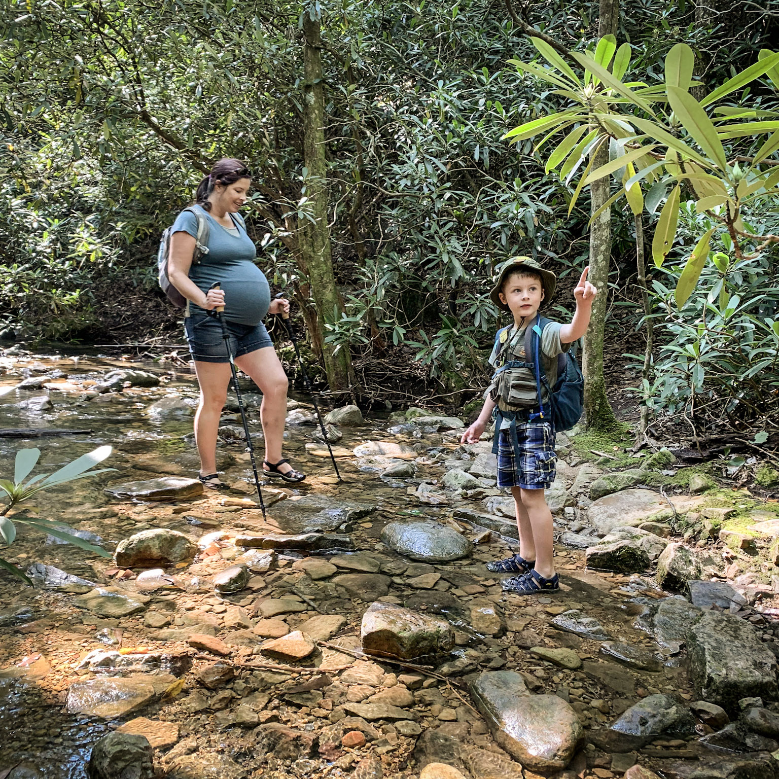
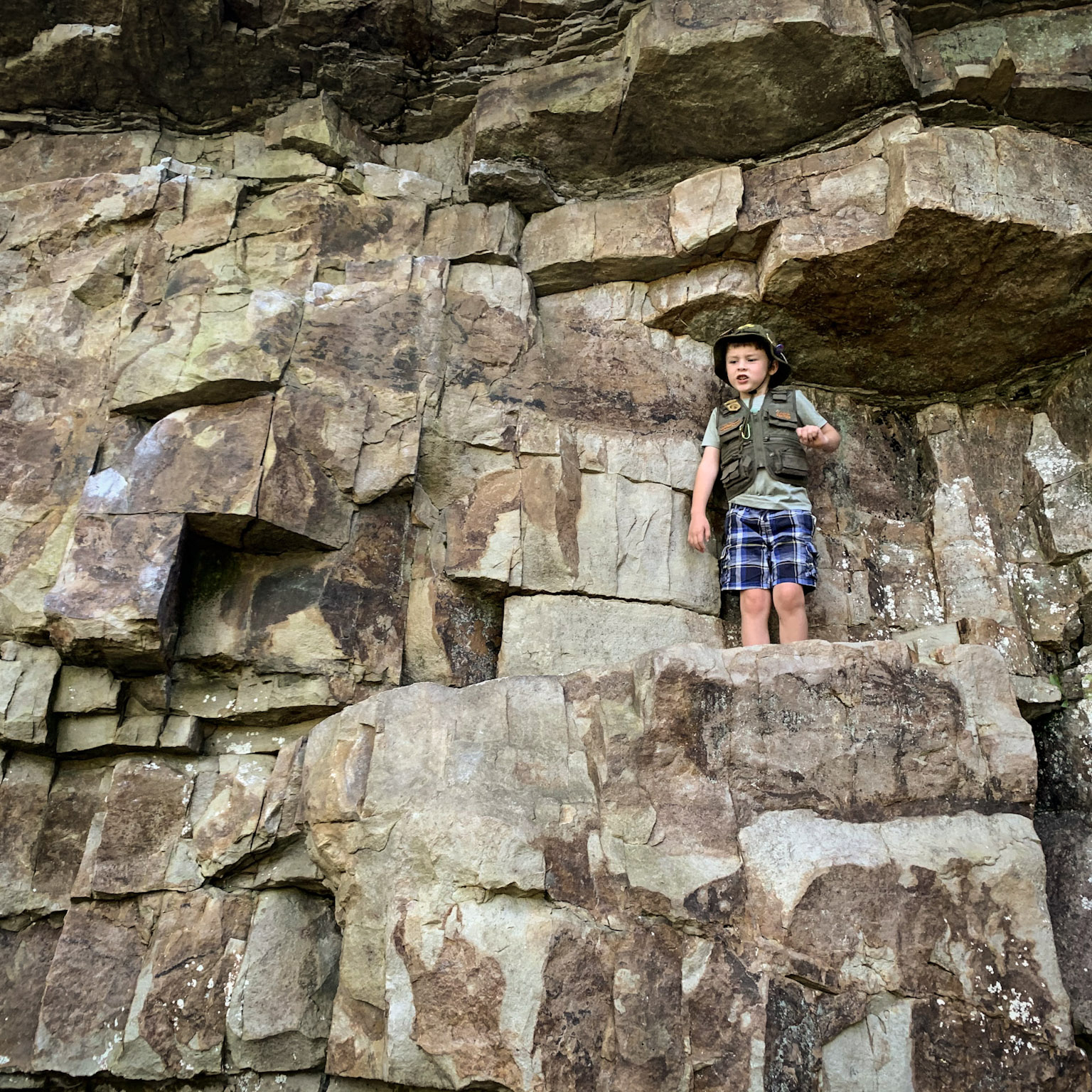
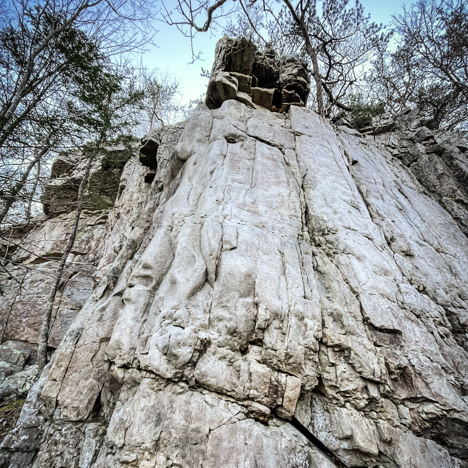
The Hidden Rocks Trail leads to a local rock climbers’ haven and a secluded spot for viewing the peaks of the George Washington National Forest. If you’re lucky, you may see some in action on the cliffs. The trail includes several crossings of Rocky Run Stream as well as creek access for wading. In early summer, a tunnel of rhododendrons and mountain laurel put on a colorful show.
For more detailed trail information click here: Hidden Rocks Trail
Trail Information
Trail Activities: Hiking and Trail Running
Time required: 1.5-2 hours
Challenge level: Moderate
Distance: 2.2 miles
Elevation change: +/-315 ft.
Terrain: Mostly single-track with some sections wider than others. The trail rolls up and down to reach the first stream crossing, then climbs gradually uphill to loop around the cliff areas.
Preferred direction: Trail is out and back with a loop on the far end. Recommended to turn right at the first junction and walk the loop counter-clockwise.
Practical Planning Information
Services along trail: None.
Food and water: Stream crossings offer water if needed, be sure to filter/purify.
Phone service: None at parking area, possibility on top of cliffs.
Directions & Parking
Google: Hidden Rocks Trailhead
Driving time: 30 minutes west of Harrisonburg
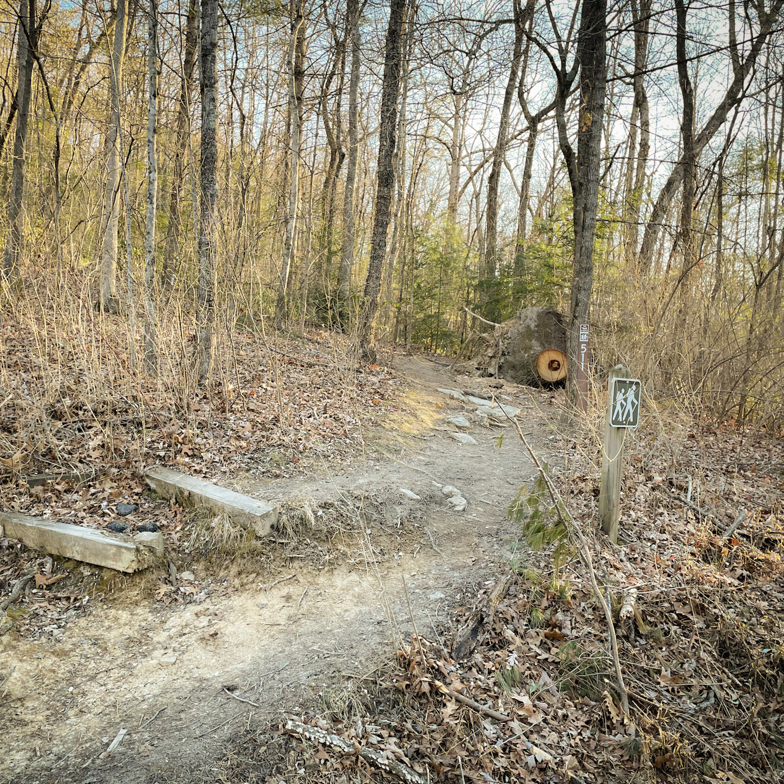
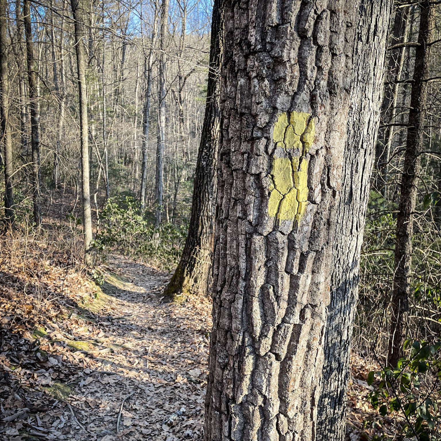
Signs and Marking: yellow blazes
Parking: Navigate to “Hidden Rocks Trailhead” within Hone Quarry Recreation Area. The small parking area is soon after turning right off of Rt. 257 into Hone Quarry. Space for 7-8 vehicles.
Trail Map
Navigating the Trail
After the turnoff from the larger paved Rt. 257 from Briery Branch, follow the Hone Quarry Access Road 0.4 miles. On the right side of the road, find the small parking area.
Follow the trail markers to the first stream crossing (0.6 miles), where you will turn upstream at the junction. Then, at the next junction, find another marking to continue in the correct direction. Do not go downstream. Reach the second stream crossing (0.8 miles). Just past the fourth stream crossing (0.9 miles), head uphill towards the first set of rock cliffs. The cliffs are somewhat visible in the winter. The trail will bring you to the base of the cliffs, which is a nice spot for a break or picnic. Then, the trail will then continue to the left to a second set of rock cliffs. To reach the top of the rock formation, circle around the left side of the crag. The ascent to the rocks is steep and rocky but short. Be careful not to throw anything off the cliffs or disturb rocks as they could land on hikers or climbers on the path below. After you have enjoyed your time on the cliffs, descend down the rock formation and continue following the trail to the stream. Walk along the stream and retrace your route back to the parking area.
Water can be high after heavy rain, making the streams difficult to cross in winter and early spring. Sandals can be helpful. In the summer, the trail can become overgrown, so pay special attention to the yellow blazes on trees.
